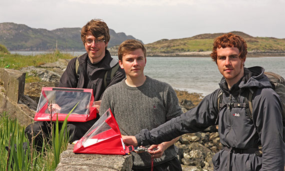
Further your understanding of geologic and geomorphologic processes, and Earth Science field skills, in our residential field trip to the Isle of Mull.
During this field course, you will learn how to collect field data in order to make a geologic map. In addition to becoming familiar with this particular field area, you will also visit some of the oldest rock formations in the UK which formed during the opening of the Atlantic Ocean and as such you will be able to understand a wide range of geologic terrains.
As part of the module, you will gain excellent practical skills including mapping techniques, how to plot structural data and be able to recall aspects of British geological history and this module provides excellent preparation for students who wish to do a geological field project as part of their dissertation.
Jennie Gilbert, the module convenor says, "There are few places in the world that I’d rather be than Mull. I’ve been visiting this island for many years with undergraduate students, research colleagues and my family. It’s stunningly beautiful and has some intriguing rocks. Although each time I visit, my time is cram-packed with things to do, I always depart from the island feeling refreshed, re-vitalized and having learned something new. Each year I take a group of second-year undergraduate students to the Ross of Mull (the south-west tip of the island) for a week. We use the rocks, sediments and landforms there to learn about the dynamic processes that have formed the planet on which we live. The focus of the work is to make a geologic map; we work in small teams to do this roaming white sandy beaches, rugged coastlines and boggy moorland. We also visit Britain’s oldest rocks on Iona and take a boat to Fingal's Cave to study the basalt columns and admire the puffins on the island of Staffa."
Please note, this field course is a core module for the degree schemes listed below.


