Equipped for achievement
If you study Environmental and Earth Sciences at Lancaster University, you will be housed in Lancaster Environment Centre (LEC). LEC is one of the University's largest departments, with newly enhanced facilities, teaching rooms, laboratories and social spaces.
Teaching Labs
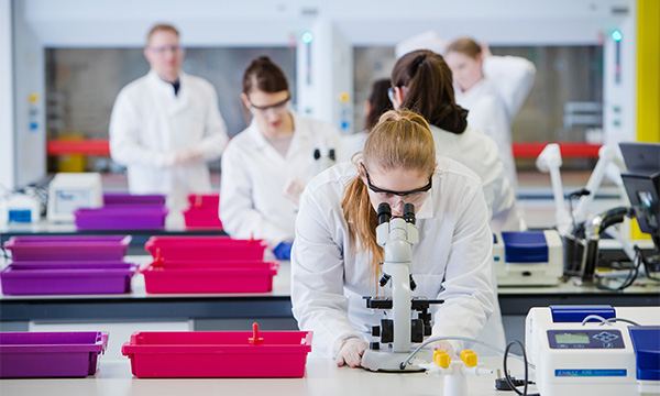
Our new £4.4 million teaching laboratories have bench space for 216 students. The flexible design means that we can teach up to four classes at one time in the two laboratories, with up to 12 students clustered around double benches, having access to monitor screens and speakers.
Ancillary facilities include cold storerooms, a plant growth room, preparation rooms, a muffle furnace room, 12 fume cupboards, storage space and office space for technical staff. Lockers are provided so students can follow best practice and leave their coats and bags outside the labs.
The laboratories are used mainly for undergraduate teaching and project work, with some Master's Degree work also taking place there.
Hazelrigg Weather Station
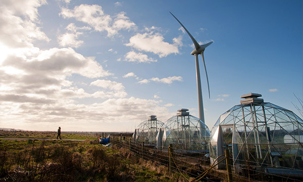
Daily weather observations have been made at Lancaster University since 1966 providing a continuous, very high-quality record. This record is included in world climate reports and in the analysis of long terms trends by the World Meteorological Organisation.
Hazelrigg is the UK Meteorological Office Climatological Station Number 7236. Every morning at 0900 GMT measurements are made by Lancaster Environment Centre (LEC) staff and student volunteers and the data are passed on to Meteorological Office. Measurements from the automatic weather station are averaged every 10 minutes and can be seen via Hazelrigg Automated Meteorology Measurements.
Data from Hazelrigg can be accessed through the Archived Meteorology Data of daily and automated measurements from the site. These data are used in many undergraduate and postgraduate projects and by LEC researchers and those collaborating with them.
Hazelrigg is 1 km northeast of the University campus and 10 km east of the Irish Sea coast. Its prevailing south-westerly wind makes it good for the study of marine aerosol and trace gases. It is also used as a semi-rural site to monitor trace levels of Persistent Organic Pollutants.
GIS Facilities and Support
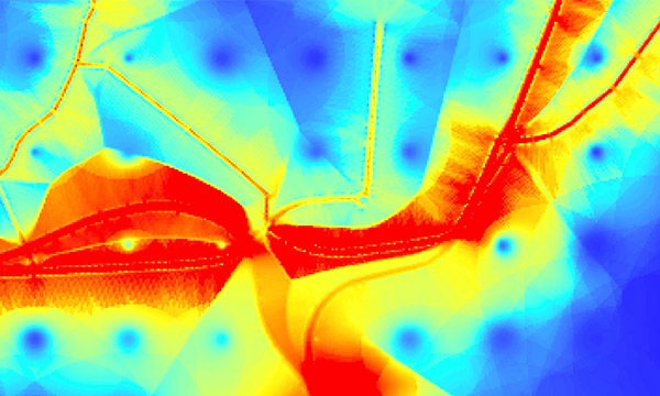
Our Geographic Information Systems (GIS) facilities benefit from the support of a dedicated technician who offers one-to-one practical support to staff and students to enable them to get the most out of our resources.
We have access to GIS and Image Processing software including the latest versions of ArcGIS and Erdas. We hold a variety of digital data resources as well as subscribing to a range of data services such as Edina Digimap.
Within the Cartography office, we also house a large archive of paper maps as well as scanning and photographic equipment for capturing data from hard copy formats.
We provide practical training in software skills and one-to-one support for students using GIS as part of their dissertations and coursework.
We offer advice to researchers about data sources and support in developing a research methodology, as well as helping with technical queries.
Numerical Modelling
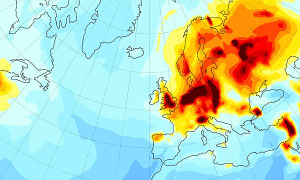
We develop and run a variety of custom-built computer models to simulate environmental processes, predict the transformation and fate of pollutants, and explore the global climate system.
These atmospheric and hydrological models permit detailed investigation of the physical and biogeochemical processes operating in the environment, allowing interpretation of observational data from field sites on larger spatial and temporal scales and more critical evaluation of our fundamental scientific understanding.
These models provide insight into the environmental fate of pollutants and into the processes driving environmental change, providing a firmer foundation for policy decisions affecting air quality, the climate system, and our responses to natural hazards or flooding.
Our numerical models are generally run on our in-house computational facilities in the department, on the University's high-end computing cluster, or on national and international supercomputing facilities.
Numerical simulation and data analysis are important scientific skills that complement practical field and lab-based activities. Many of our undergraduate, Master's and research students make use of our modelling tools in their dissertation and thesis projects.
Catchment Science Sites
We are involved in several important river catchment science sites across England and Wales studying: water quality and biology; pollution; the effect of land use on ecosystems and sustainable production; and the impact of mitigation measures.
Our most extensive and longest-running facility is in the River Eden Valley, to the north of Lancaster, where there is a long history of flood hydrology and more recently agriculture and nutrient research. It is one of the UK government's three National Demonstration Test Catchments (DTCs) where we work with many partners including the Eden Rivers Trust, the British Geological Survey and the Centre for Ecology and Hydrology (CEH) and other universities.
Other catchment sites where we work with the CEH include the Welsh DURESS Catchments and the more local Ribble-Wyre Catchment.
We have played a fundamental role in developing the Catchment Change Management Hub a web resource which acts as a repository of knowledge about river catchments and a guide for interested parties.