Litcraft
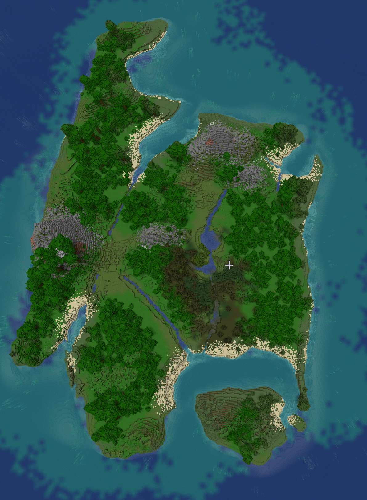
Aims: Litcraft is a multimodal resource for reading that aims to “bring the text to life”. It makes accurate scale models of literary worlds in Minecraft and links reading outside the game-world with play within it. Originally an impact project it also has a research dimension linked to immersion in storyworlds. From 2024 Litcraft will become a Social Enterprise. See: https://www.lancaster.ac.uk/litcraft
Significance:
The resource is made for use in schools and libraries to remotivate readers through interactive visualisation of the story in a Minecraft world. It has a particular focus on reluctant readers and aims to re-engage them with reading through immersion and creative play.
Public Engagement: The project was made for impact and has worked with a range of partners: Minecraft.eduThe National Literacy Trust; The British Library; Seven Stories, Newcastle; The Wordsworth Trust; Leeds Libraries; Lancaster Libraries.
Team: The project lead and primary Minecraft designer is Professor Sally Bushell. Other members of the team are Dr James Butler and Dr Rebecca Hutcheon. From 2024 a small team of Lancaster University students will also assist.
Funding: AHRC Standard Grant 2018-21; HEIF Funding for Litcraft in Libraries; ESRC IAA Funding.
Events: Ongoing training and roll out to schools in the NW; regular training sessions at the Wordsworth Trust.
Publications:
Bushell, Sally. “Literary Geography in the Mind and in Minecraft.” The Routledge Handbook of Literary Geographies. Ed. David Cooper and
Neal Alexander. (2024).
Bushell, Sally and James Butler, “Mapping Robinson Crusoe for the 21st Century.” Literary Geographies. 9.1 (2023): 185-210. https://www.literarygeographies.net/index.php/LitGeogs/article/view/334/pdf

Steampunk Sherlock Holmes
Aims:
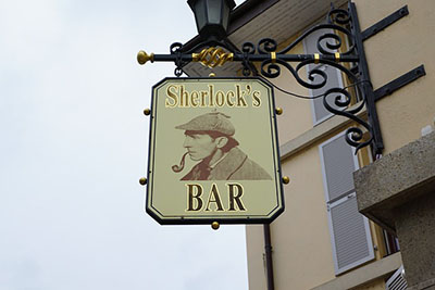
Steampunk Sherlock Holmes is a Knowledge Exchange project with Minecraft design company Blockworks. The aim was to make a large accurate map of Victorian London in Minecraft by working with the partner and embedding Sherlock Holmes Adventures within the build as well as making a GCSE Educational Resource for The Sign of Four. A second build for LSE Library using the same Booth map for socio-economic interactive tasks has also been made.
Significance:
This is in impact project made for open release on the Minecraft marketplace. It is intended to re-engage the public with literature in new immersive ways. The Sign of Four build is made for schools and will be tested and trialled in partner schools in the NW in 2024-25.
Public Engagement
A soft-launch event was held at the British Library: Late in The Library event in October 2023. The LSE Booth map is being tested and trialled in April 2024 for full release in September 2024. The Sherlock Holmes build will be fully released in September 2024.
Team
The project lead is Professor Sally Bushell who worked with Dr Rebecca Hutcheon and James Delaney at Blockworks to design and make the build.
Funding
The project was funded by AHRC Follow-on Funding and AHRC IAA Funding.
Events
The builds will not be complete until September 2024. After this there will be a series of events in libraries and schools across the NW.
Publications
Bushell, Sally and Rebecca Hutcheon, “Digital Literary Mapping in Victorian London: Booth –Conan-Doyle – Holmes.” Victorian Studies
Forthcoming2024. [Being revised for publication]

Narrative Maps of Urban Palestine
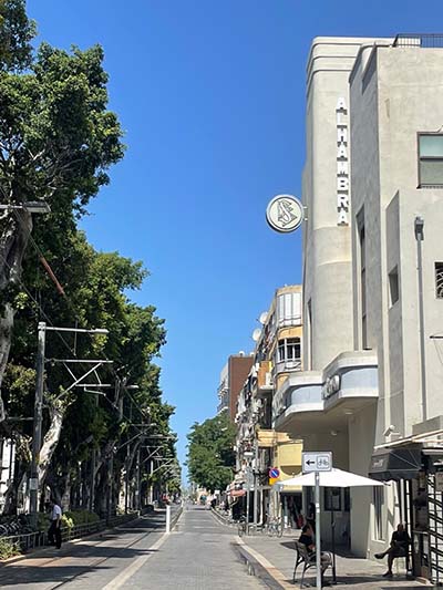
Aims: Starting with Nablus and Jaffa (contemporary and historic Palestinian cities respectively), we will produce layered and annotated digital maps using literary and critical discourse analysis and creative writing.
Significance: Re-mapping cities contributes to Palestinian heritage and combats toponymicide and memoricide, or place and memory erasure, between 1948 and the present.
Public engagement: We want to engage Palestinian publics, across 1948 Palestine/Israel and the diaspora, in narrating urban place-memory/experience and digital story-mapping.
Team: The project lead is Dr Lindsey Moore, working with colleagues in ELCW and LaEL at Lancaster, An-Najah National University of Palestine, and the University of Jordan, as well as other UK academics.
Funding: FASS Network and Catalyst Research Funds, Council for British Research in the Levant.
Events: Mapping workshop and research sandpit, May 2024.
Key Publications:

Ways of seeing Enclosure
Aim: This project investigates the relationships among land ownership, visual aesthetics and broader historical currents (colonialism and slavery, industrialisation, the recomposition of labour).
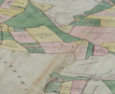
It develops a pilot study focusing on Lancaster and the Lune Valley around the turn of the eighteenth century, through which we have been developing digital, critical and creative methods that will subsequently be deployed in different regional contexts.
Significance: The project has a historical and a legacies dimension: how were the spaces of the English countryside discursively and materially composed by different media, legal and design technologies (painting, mapping, writing, walling, irrigating, allotting) in the epoch of parliamentary enclosure and slavery compensation? And how can we challenge the legacies of this history today?
Team: The project is a collaboration between researchers at Lancaster, UCL and Queen Mary.


