Location, Location, Location
Following our last post, Extracting and Creating Data from the Geographic Relations of New Spain, in which I mentioned the problems we face in automatized identification of place-names, I thought it would be worthwhile to take a look
Extracting and creating data from the Geographic Relations
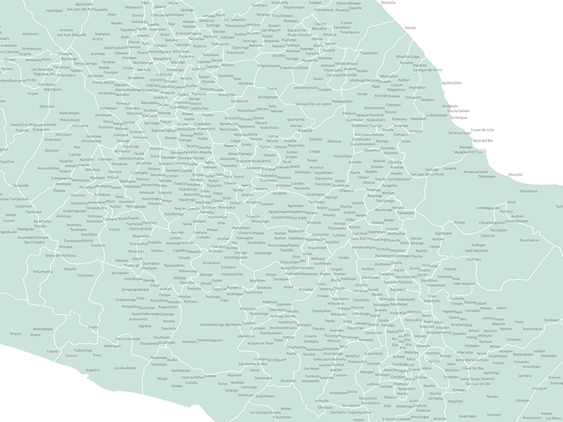
Over the past few months, our team have been laying the groundwork for our research into the Relaciones Geográficas and getting to grips with our source material. Here’s a sneak-peak of our exponentially expanding GIS place-name layers:
Historical GIS
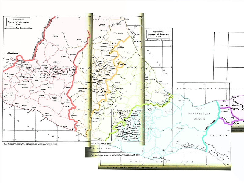
A considerable amount of our time on the project so far has been dedicated to GIS, and to the creation of maps which reflect geographic boundaries as they existed in sixteenth century Middle America. The work of Peter


