Pathways to understanding 16th century Mesoamerica
Two of our team members, Raquel Liceras-Garrido and Katherine Bellamy have recently completed the project ‘Pathways to understanding 16th century Mesoamerican geographies’, funded by the Lancaster University Department of History. This spin-off project has used ESRI StoryMaps, combining
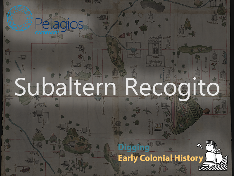
Subaltern Recogito: Annotating the sixteenth-century maps of the Geographic Reports of New Spain
We're very pleased to have been awarded a Pelagios Commons Resource Development Grant to explore the annotation of a series of historic maps using Recogito. Our corpus of maps includes those produced in the sixteenth-century for the Relaciones
Test
This is an example of a wiki entry in our page. The description of a past geographic location goes here and the image is located on the right side. Go back to wiki
Workshop – Exploring AI for Humanities Research
The week before last, we organised a two-day workshop, ‘Exploring Artificial Intelligence for Humanities Research’, hosted by the Lancaster University Digital Humanities Hub in collaboration with tagtog, and funded by the ESRC IAA Business Boost. Tagtog is an
DECM at the Spatial Humanities Conference
A couple of weeks ago, the 2018 Spatial Humanities Conference was held at Lancaster University (20th—21st September). This conference focused on exploring what geospatial technologies such as Geographic Information Systems (GIS) have to contribute to humanities research. The
Corpus Annotation with Tagtog
A key element of our research on the Relaciones Geográficas is the analysis of the textual information contained within these sixteenth century reports. To do this, we will be drawing on techniques from Computer Science, namely Natural Language


