Adam Fish blogs about how flying a camera-equipped drone over a data center can improve our infrastructural literacy. His ethnographic project ‘Seeing Information Infrastructure in the North Atlantic’ investigates information infrastructure in Iceland, Shetland Islands, Isle of Man, Faroe Islands, Sweden and UK.
It’s the summer of 2015 and I am on a former Naval Air Force base in Keflavik, Iceland. The wind is 20 miles per hour and still won’t keep the midge flies from darting into my eyes. A massive once-white satellite disc hovers above collecting signal intelligence. I am hunched over my black boxy backpack unpacking an unmanned aerial vehicle, spinning its four propellers on, checking its battery, bluetooth tethering its on-board camera to my iPhone so that I might see as it sees, behind me another video camera on a tripod films the scene as I use my thumbs to thrust the drone off the abandoned and weedy tarmac and into the sky, just eye-level and arms length from myself. Seagulls swoop in to see what is suddenly threatening their airspace. Gusts of 40 miles per hour shove the drone to the west, but it automatically recorrects to my eyeline level – my daughter has come to call this thing the “dragonfly” for these very stunts. I embark on a few exploratory examinations of the satellite disc, circumnavigating this space eye with my airborne digital eye, gusts funnel off the curves of the disc, shoving the drone back and forth. I’ve already crashed this 1000 pound plastic remote controlled devices twice, thankfully some engineers were able to straighten out its wickedly bent arm.
After this practice I turn the drone towards the day’s real goal – to get a bird’s eye view of a major data center. When you fly a drone you set a home, a geospatial coordinate that it will return to should it lose connection to the controller or almost run out of battery power. From this spot you usually control the drone. Usually. In this instance I needed to walk with the drone towards the data center – a difficult thing to accomplish: flying the drone in high winds, while stepping over chunks of concrete and water-logged bogs. At one point I lose my step and in the process accidently adjust my left thumb on the lever and after I catch myself I see out of the corner of my eye the drone taking a kamikaze dive bomb straight into the barbed wire fence – the result of a mindless micro-adjustment on the lever. A fraction of a second and the uninsured and university-owned drone would have imploded. The battery life is only 15 minutes on this drone and I’ve already used 8 and haven’t yet got any video of the data center. I decided to move quick and get right next to the barbed wire fence circling the parameter of the data center. I directed the drone to make a hasty ascent with its video eye fixed toward the data center. Quickly the drone was nearly out of sight, I could see something in the air but could not make out its specific X-shape. Reliant now entirely on the live stream it was sending back to my phone, I diverted my eye from the drone in airspace and instead stared directly at the little screen, the glares from the sun making it difficult to see what the drone was seeing or where it actually was. I had driven around the data center several times and had a good sense of what it was, here were the abandoned buildings they were planning on tearing down upon expansion, there were the major servers, here were the air-cooled servers where bitcoin miners hashed code, the offices, the large and largely empty parking lot.
At one point I lose my step and in the process accidently adjust my left thumb on the lever and after I catch myself I see out of the corner of my eye the drone taking a kamikaze dive bomb straight into the barbed wire fence.
I had a few more minutes of battery left and wanted to see more, hoping that the drone enabled a god trick that would help me see more and thereby understand more about how data centers are new forms of spatialized power, transforming distributed edges like Iceland into nodes of centralized information power. Now 300 feet up and not satisfied with the information it was relaying back to me, I decided to send it horizontally out over the data center. The drone was now 300 feet up and 100 feet deep and hovering precariously over the data center. Still unsatisfied, but with the battery dangerously on the red I decided to push it still further over the data center. But the drone disagreed and suddenly started flying at full speed in the opposite direction to its home coordinate, back to the satellite disc, softly landing itself down amongst the weeds and basalt.
Alone and on the windswept field, adrenaline coursing through my body, I had to ask myself why was I doing this? What did I hope to learn by seeing the data center from a different angle?
…
Scholars behoove us to improve our “infrastructural literacy” (Mattern 2013) through visiting, seeing, and visually documenting the terrain-based systems of communication around us. In so doing, it is hoped, citizens will become empowered to assume responsibility for governance of these important systems. Lisa Parks, who has conducted field work on cell towers disguised as trees and how satellites are visualized, implores us to begin to take responsibility for infrastructures, a process which starts with field visits and visual methods. Urban planner Kevin Lynch wants infrastructure to become open for citizen involvement by listing technologies of vision which may assist us in connecting to infrastructure: “guidebooks to the sewer system…. Signs, obscure marks, the traces of activity, listening devices, diagrams, remote sensors, magnifying glasses, slow-motion films, periscopes, peepholes – any of these may be used to make some process perceptible” (Lynch 1981: 312-313 in Mattern 2013).
Scholars behoove us to improve our “infrastructural literacy” through visiting, seeing, and visually documenting the terrain-based systems of communication around us.
Some suggest we use other senses, such as hearing, smell, and touch in order to more fully experience and embody information infrastructure. Journalist Andrew Blum traveled to a number of data centres, submarine fiber optical cable landing sites, and internet exchanges and writes about the internet’s smell consisting of an “odd but distinctive mix of industrial-strength air-conditioners and the ozone released by capacitors.” He continues: “data centers are kept cold to compensate for the incredible heat emitted by the equipment that fills them. And they are noisy, as the sound of the fans used to push around the cold air combines into a single deafening roar, as loud as a rushing highway” (Blum 2012: 193).
But is visiting, seeing, or hearing, as we are doing now, experiencing infrastructure on a deeper sensorial level enough? Desires to “make visible the invisible” says Shannon Mattern, “can too often become ends in themselves” (2013). She quotes Jacques Rancière saying: “understanding does not, in and of itself, help to transform intellectual attitudes and situations” (2009: 45). As public sphere theory states, political action must begin with knowledge which arises from deliberation on information which is build upon documentation, schemas, and models which are based on visual codes.
Is seeing enough? Does it make the opaque transparent? While I certainly believe it is a start, I think scholars of the internet are missing an opportunity to build a visual theory about what it means to see infrastructure.
The visual haunts the history of infrastructural studies. There is something there, we can feel it, but what we see is not it. Something else powerful and mysterious lurks below the surface, entangled in the wires behind your black box. Scholars have called this uncanny feeling the technological sublime (Nye 1994), the digital sublime (Mosco 2004), and “networked spectrality” (Kirk 2015). Sometimes this mystery reveals itself through its rupture. Infrastructure only becoming visible when it breaks down, has been one of the major tropes of science and technology studies (Star and Ruhleder 1996: 113).
Consistently we read about the application of visual methods in infrastructural studies as well as critical readings of the visual self-representations of infrastructural industries. Parks (2009) encourages cell phone towers to cease disguising themselves as trees so that we might see them as they are and proceed to have an honest discussion about their proliferation. Starosieliski (2012) investigates how submarine cables are visually mediated by government officials and corporations. Holt and Vondereau (2015) critically analyze the cheery self-representations of data centers in attempts at getting a clearer view of so-called corporate transparency. Geographer Bradley Garrett ascends and descends to places often quite illegally in order to examine and photograph how infrastructural developments are linked with the privatization of public space. These visibility and invisibility discussions articulate with other “digital dualisms” or we might call them “visual dualisms” that are prominent in contemporary media studies such as those between materiality versus immateriality and the actual versus the virtual. For these sociologists of media infrastructure, making infrastructure visible becomes the lynchpin of a politics of transparency – of central importance within hacker activism.
Making infrastructure visible becomes the lynchpin of a politics of transparency – of central importance within hacker activism.
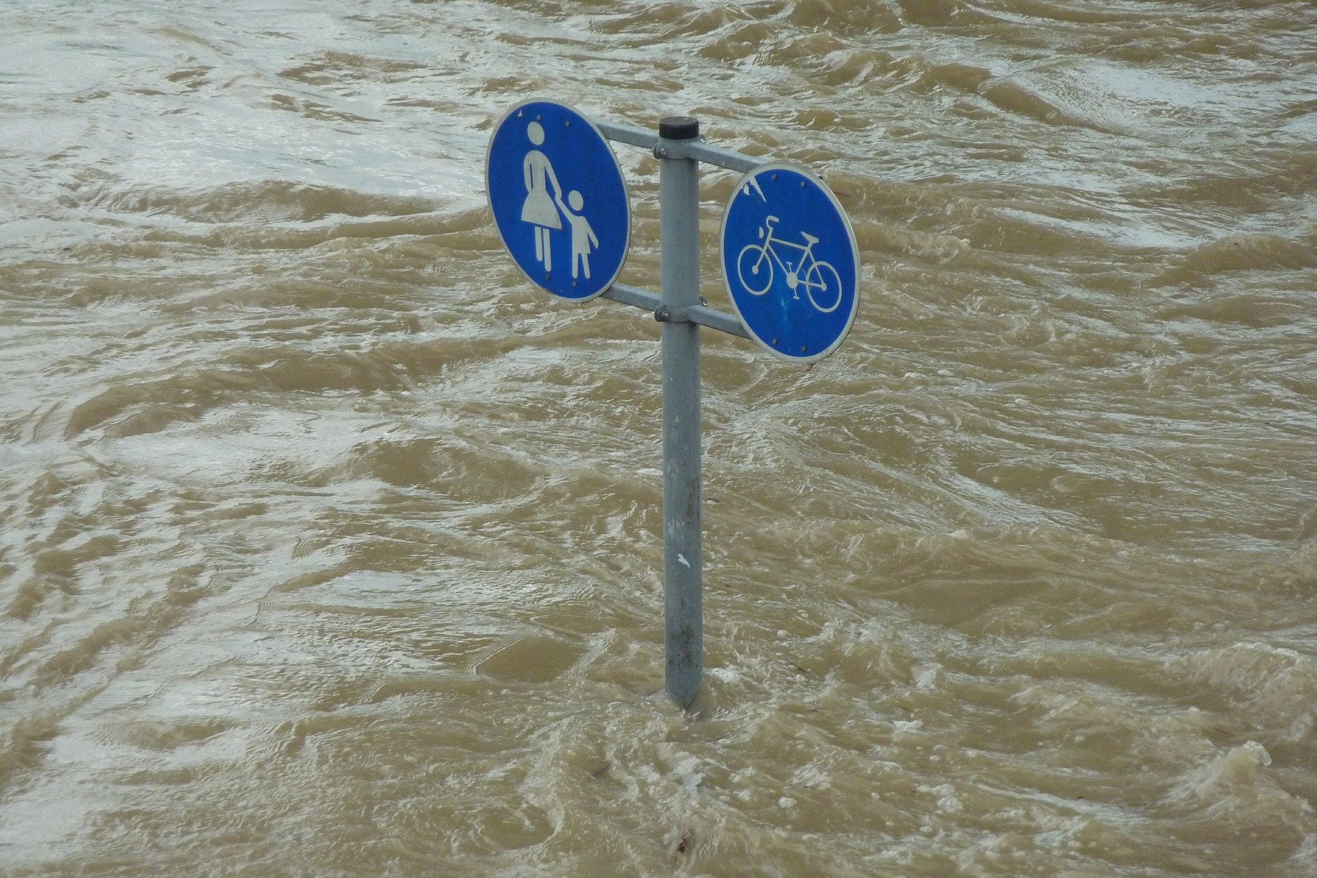
Despite my own experiments with drones and these efforts to use the visual to challenge the myth of immateriality I for one am left feeling no closer to understanding, knowing, or embodying the vast flow of data across globally distributed hardware nodes. I feel like this guy futilely struggling underwater to get at something that isn’t there, or if I do get at to see it I destroy it in the process.
This absence is not the result of poor scholarship – though it could be the result of poor drone piloting – the previously mentioned scholars have all made exceptional gains in addressing the vast gap between a representation of infrastructure -either a sign on the beach designating the presence of an undersea cable or a picture of an air cooled data centres downloaded from Google’s servers – and that which it is attempting to document – an unfathomably heterogeneous assemblage storing and transmitting a binary system which codes every conceivable media. Such a chasm separating the actual and the virtual is inherent in semiotic relationships and can not be transcended. The semiotic gap between a picture of a data center or an undersea cable and what those infrastructures mean and do is so vast as to make another approach necessary. Towards that goal, I intend to contribute a theory of indexicality – a theory attentive to semiotics gaps, connections, and context – to studies of the visual culture of information infrastructure.
Critical visual studies of infrastructure are usually embedded within the immaterial/invisible, material/visible binary. My argument is that the visual and the invisible are not conflated but have an indexical relationship of similitude and difference.
Adam Fish is Lecturer in Sociology at Lancaster University. His research focuses on the industry and activism surrounding digital video.
Image credit: evolo.us.


